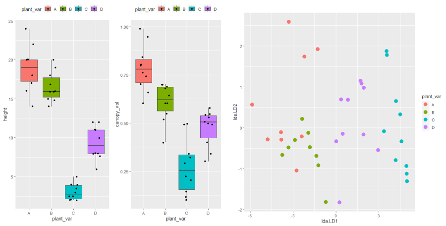
Visualizing spatial data in R is oftentimes more challenging than it initially seems. There’s a ton of moving parts, like map center point, zoom, map type, marker size, and so on. And then there’s cartographic design and managing aesthetic appeal along with the functional elements. It goes without ...
[Read more...]


